Mapping Out My Journey
This may not come as a complete surprise to my regular readers – but my wife is mad at me again. So infuriated is she, in fact, that she has accused me of being a “fossil.” Imagine that! I believe she is just angry because, deep down, she realizes once again, I am right and she is misguided.
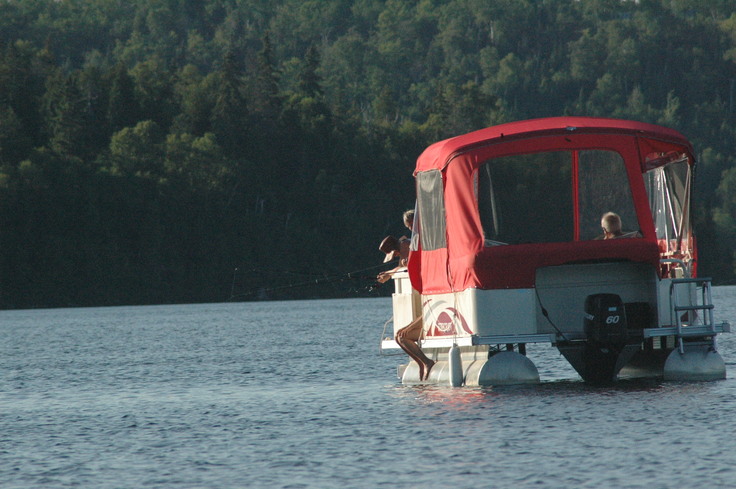
The disagreement had sprung from our desire to do a little boating on Lake Muskoka on a particularly pleasant Autumn day, and centred on my love affair with maps versus hers for technology. I had laid out a bunch of charts and maps in a clutter on the kitchen table. My wife sees my predilection with printed charts and maps as backwards, thus the fossil reference. Not so, I argue, in such a pursuit I consider myself a traditionalist, a purist, and very much in style – for isn’t retro ‘in’ at the moment?

I see only the possibilities that maps offer. I love mulling over them, for journeys both real and imagined – whether it be just a day out with the boat, a week-long canoe trip, or a Sunday afternoon drive through the countryside. Maps represent the dreaming part of travel, they transport you to the place that you intend to visit, and they build anticipation. I can look at them all day, earnestly studying the names of lakes, rivers, towns and villages, tracing the course of obscure waterways, checking elevations, and issuing small, profound “Aha’s,” while nodding my head solemnly.
My wife had bought me a neat little computer tablet for my birthday, and it was her wish that I would use the thing for navigating when out on the boat, as opposed to using my old charts. In this way of thinking she is not alone, a good number of people think that the good old paper charts and maps are pointless nowadays, both redundant and burdensome. Admittedly, the new technologies, with their electronic charts and GPS positioning information, can be of great help to recreational boaters. They provide a simple and inexpensive alternative to the chart in the zip-lock baggie. Still, I’m neither convinced or converted.The fact is, technology has already invaded our family road trips – do I really want it to take over my afternoon boating as well? In our car we have one of those in-dash GPS devices where you feel like you are beholden to a talking computer lady with a vaguely sounding British accent. “Turn left here,” she commands in a snotty tone, and then, when you decide to go straight instead, she hits you with a haughty “Recalculating,” and you feel instantly very bad and apologetic for disobeying her.
I will admit that there’s something satisfying about watching the computerized version of my vehicle on the little screen as it inches closer to our destination. I weave back and forth on the highway to see if my computerized car on the display follows suit. I’m not at all sure if the digital lake charts feature an image of me behind the wheel of my runabout on a screen, in sunglasses with my unruly hair blowing in the wind – maybe I’ll have to give it a try to find out. Anyway – I’m getting off-course here.
My darling spouse’s idea of an enjoyable drive doesn’t involve squinting at the miniature fonts or messing with the accordion folds of maps, while I yell out from behind the wheel: “We just passed a sign for Highway 13. Do you see it anywhere on there?” I poke a finger towards the bunched map lying on her lap. She, in turn, holds the map up in front of my face as I’m whizzing down the busy road, pointing out the place she thinks we are, somewhere on Baffin Island, it would appear.
No, she prefers a GPS. She likes the ease of it, and takes comfort in thinking that the British lady knows our Canadian topography more than we do and has us on the best route. I would argue that a road trip is a poorer experience when using a navigation app. With a map, you can trace your route, and you can decide for yourself where you want to go. “We are a team,” I try to convince my wife, “driver and navigator, solving the problems and conquering the challenges together.” She seems, however, to prefer the GPS to me, something that she says eliminates travel stress, and doesn’t add to it.

I lean over my nautical charts, making note of all the buoys and markers we will pass on today’s outing. I also save to memory the hazards, water depths and obstructions we might face. I debate with myself over the route – “should we go this side of the big island, or that side?” I decide on the south side, where a gaggle of fair maidens had been sitting out in bikinis sun tanning during a previous excursion – see if a GPS accounts for that!
“Are we going to go today or not?” my wife protests.
I fold up the charts and maps … and then I attempt to fold them a second time. They never seem to arrange themselves quite the same way again. With a sigh, I push the origami aside, grab my tablet and head for the boat, thinking, life is meant to be a journey and an adventure. May you chart the proper course, with or without the aid of the woman with the British accent, but always heeding the wishes of the one lady who really counts!